Mapping More. Exploring Further.
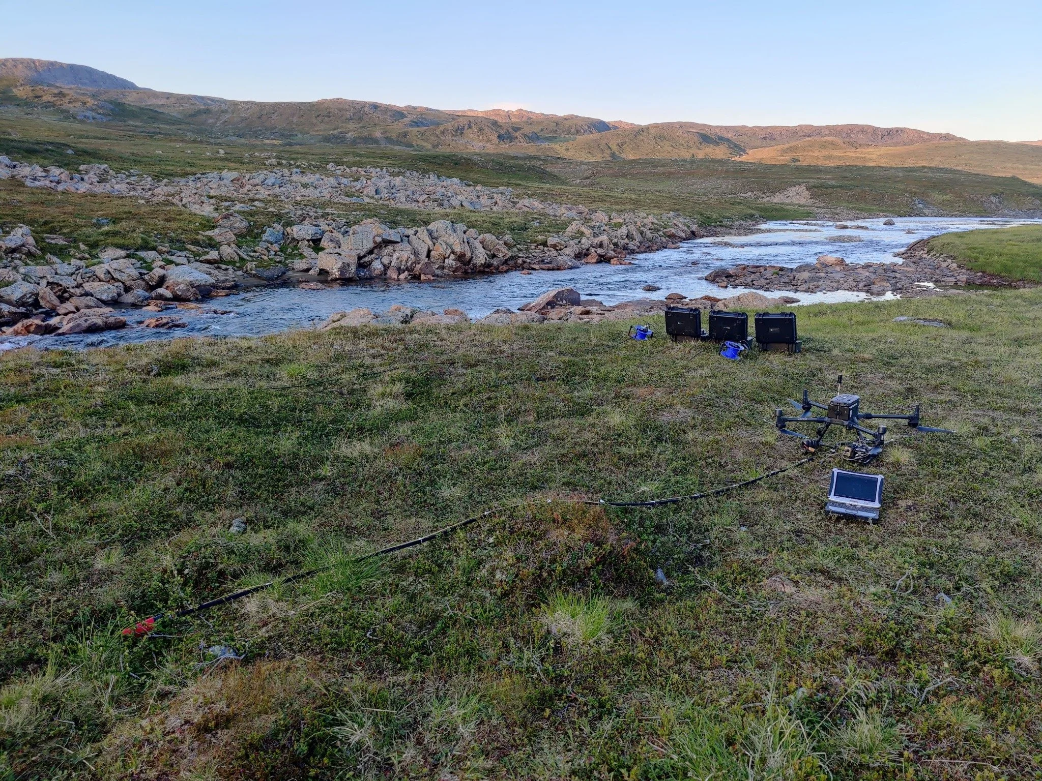
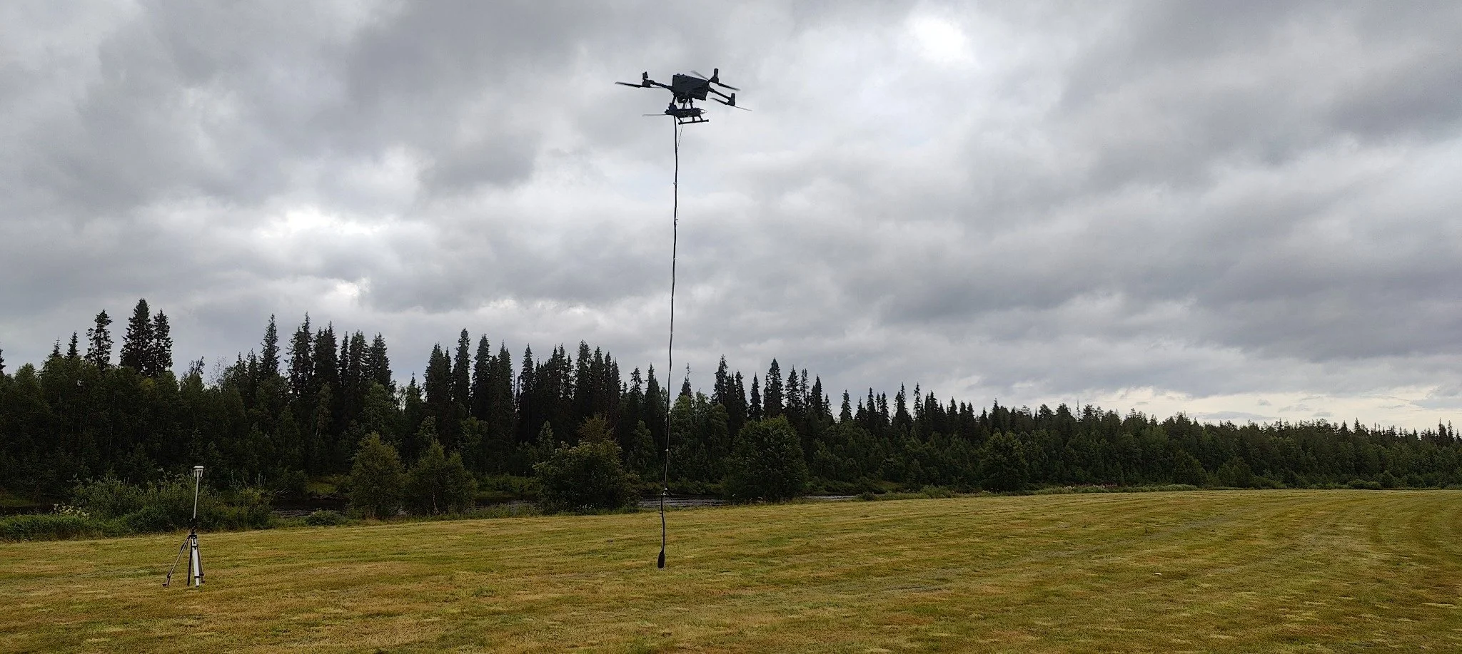
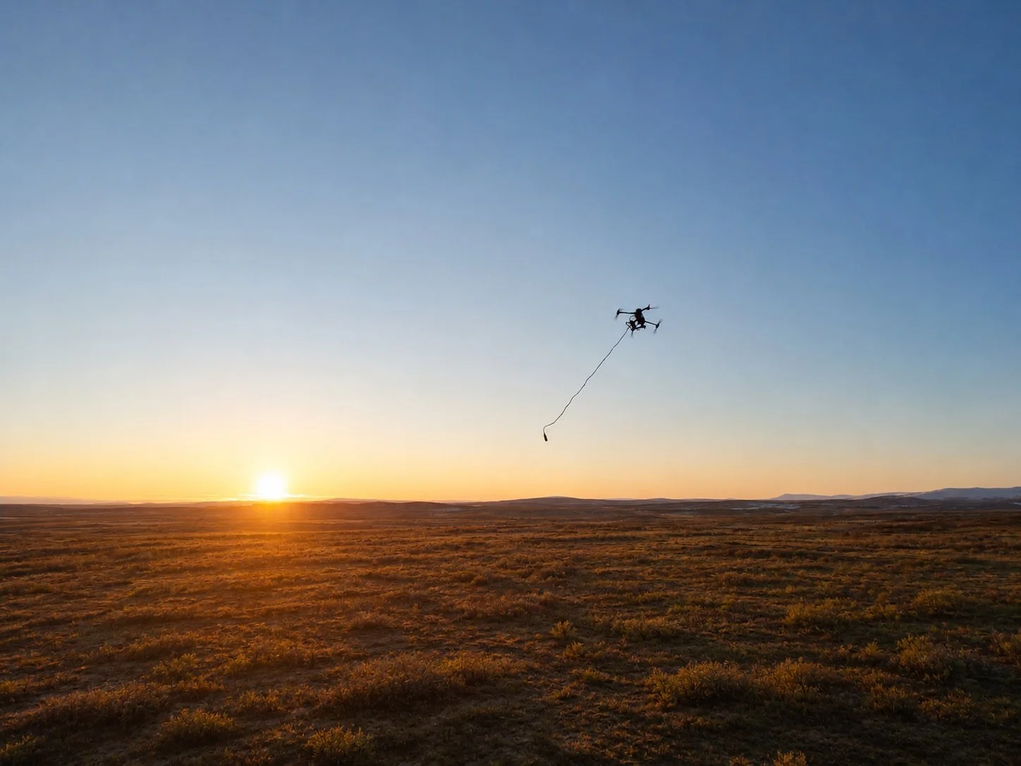
GRM-services Oy Ltd delivers drone magnetic (DMAG) surveys using UAV technology to efficiently map magnetic variations across large and challenging areas, supporting the identification of geological structures and potential mineralisation.
GRM-services Oy Ltd delivers drone magnetic (DMAG) surveys using UAV technology to efficiently map magnetic variations across large and challenging areas, supporting the identification of geological structures and potential mineralisation.
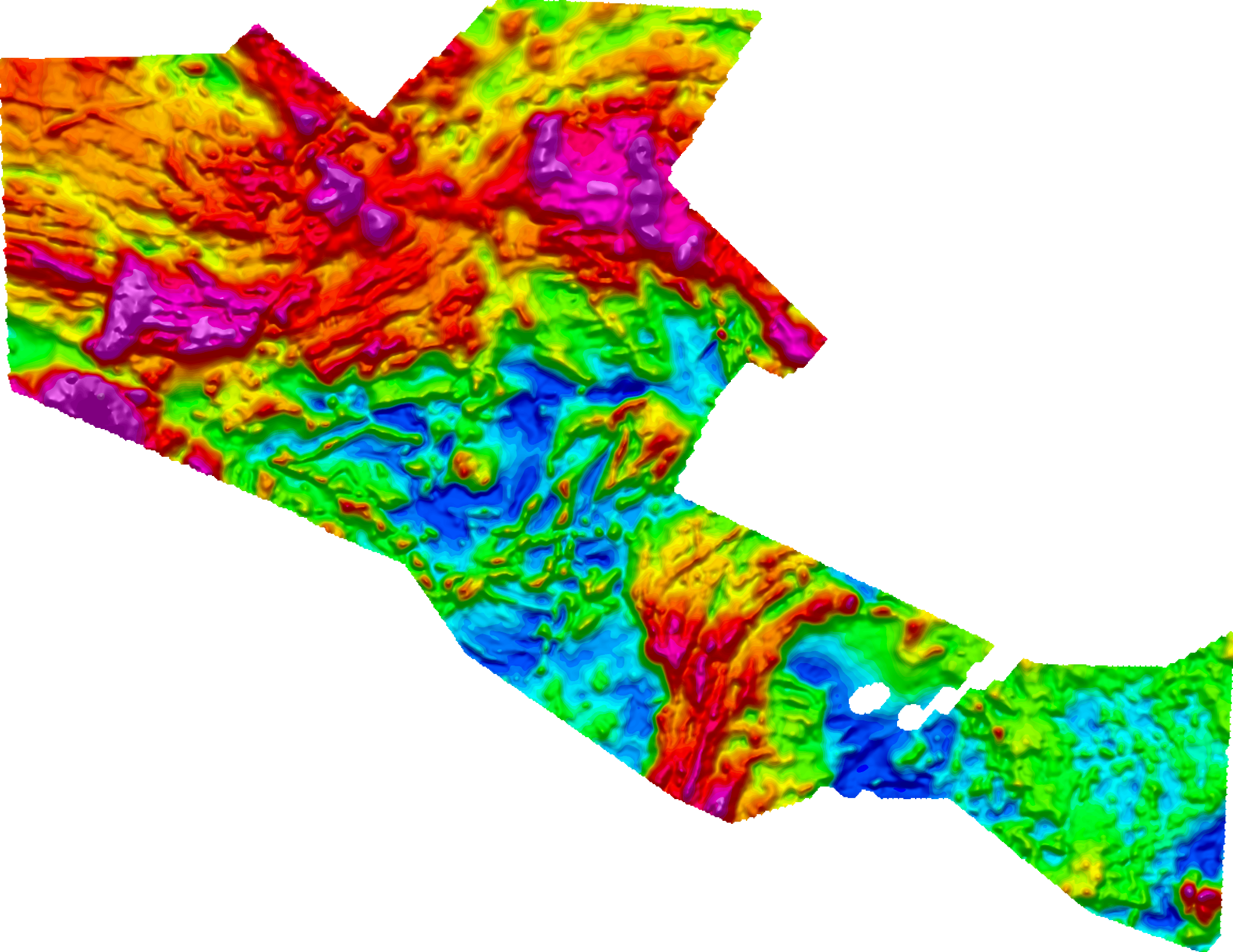
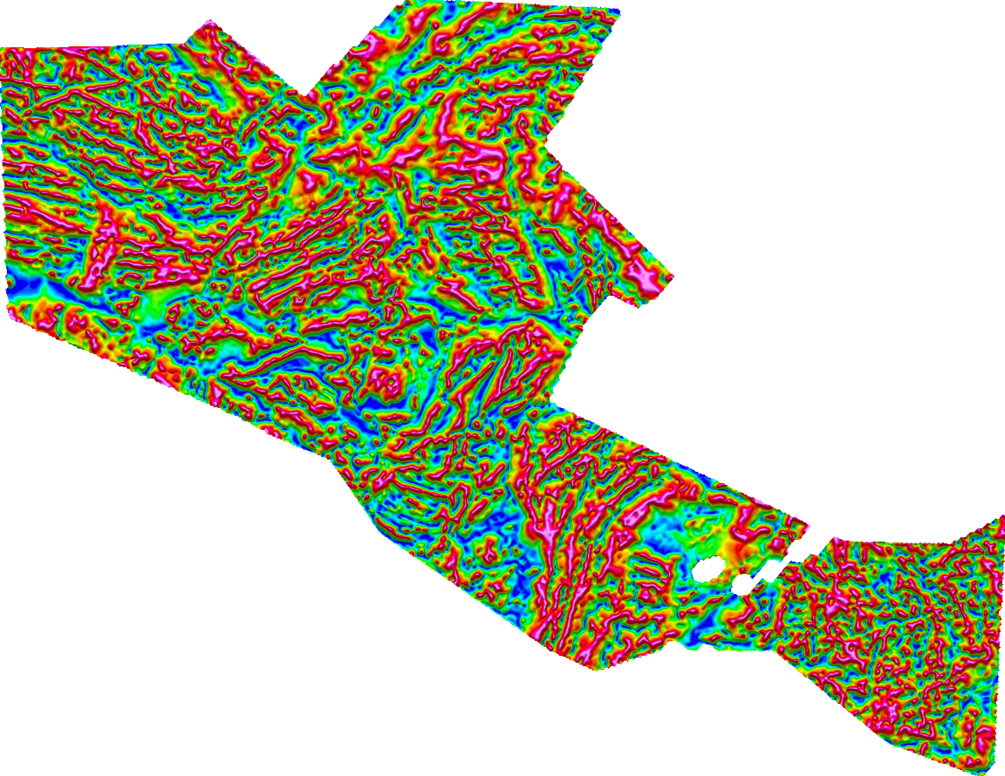
Our field operations cover a wide range of conditions, from dense forest and rugged terrain to demanding winter environments. The acquired magnetic data can be processed to resolve detailed magnetic anomalies through Total Magnetic Intensity (TMI) and Tilt of TMI mapping, supporting detailed geological interpretation and mineral exploration.
With experienced field teams, advanced equipment and flexible survey solutions, GRM-services Oy Ltd supports exploration projects with high-quality geophysical data from acquisition in the field to processed results.