
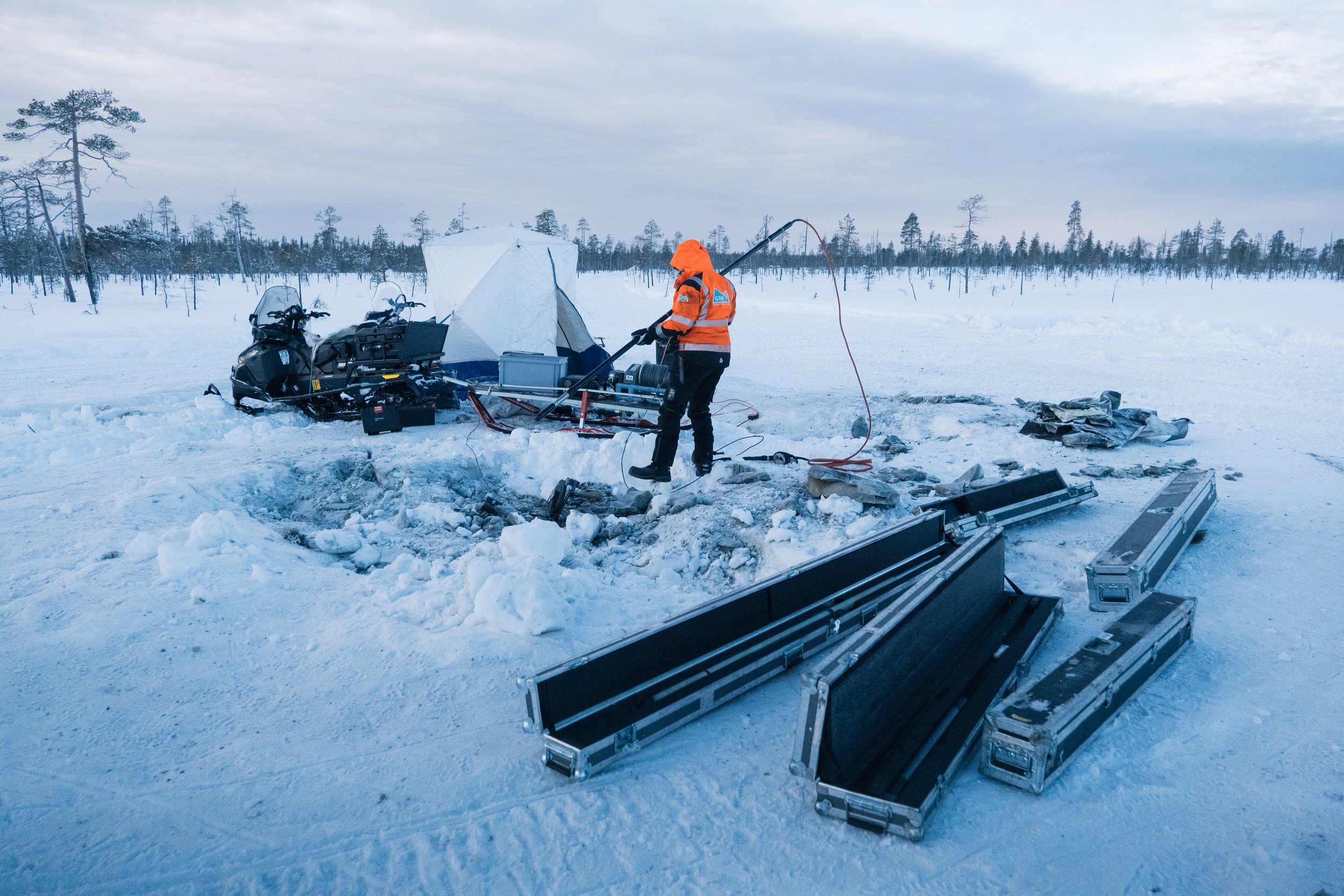
BOREHOLE SURVEYS
Geophysical borehole surveys as a full service from field acquisition to data processing & interpretation - or to the extent required by the customer
Borehole surveys provides useful information
Borehole surveys provide detailed information on bedrock properties, enabling the creation of more accurate geological models for exploration and decision-making. GRM offers a wide selection of advanced borehole geophysical survey methods.
Measurements are often taken alongside the drilling project to ensure the hole stays open and to provide immediate information to guide the drilling when conductive and/or magnetic formations can be detected around the hole and below the bottom of the hole, e.g. by TEM measurement of the hole.
-
Mapping unpierced conductos around the hole (off-holes)
Determining the size and continuity of intersected conductors
3D model of conductors
-
Observation of magnetic anomalies around the hole
-
IP and RES measurement
Reddish mineralisation (reserve anomaly)
Determination of specific resistance differences
-
Mineralization intersected with at least one hole
Determining the continuity between holes
Determining the continuity over wider area with combined ground measurements
-
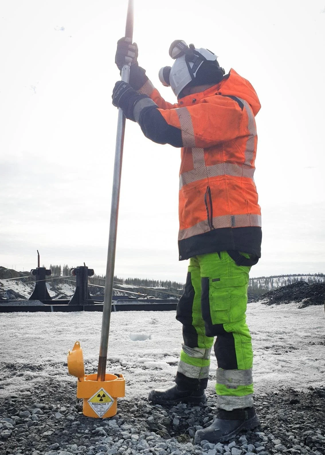
Geophysical borehole logging is used to determine the physical properties of the borehole wall.
The following parameters can be measured:
· Susceptibility
· Normal resistivity & Focused resistivity
· Chargeability (IP effect)
· Inductive conductivity
· Density (gamma-gamma)
· Natural gamma radiation
· P- and S-wave speed
-
Borehole imaging is used to identify and interpret geological structures such as lithology, mineralogy, and fractures, including their orientation, dip, and fillings, along the borehole wall. The method complements core logging by providing continuous structural information, especially when the drill core is fractured or missing.
OBI (Optical Borehole Imaging) uses a camera and light to produce a color image of the borehole wall. The method is best suited for dry or clear-water boreholes where visual information on lithology, mineralogy, and fractures is required.
ABI (Acoustic Borehole Imaging) utilizes ultrasonic pulses to create an acoustic reflection image of the borehole wall. The method requires water in the borehole to operate and performs reliably even when the water has low visibility. ABI is particularly suited for detecting structural features, fractures, and fracture zones under conditions where optical imaging cannot be applied.
-
Actual XYZ location of the hole from the beginning to the end of the hole
During or after drilling through pipes in an open hole
Borehole survey services:
GRM offers downhole measurements up to a depth of 2500 metres
Geophysical borehole surveys
Geophysical borehole surveys provide detailed information on the physical properties of the bedrock surrounding the borehole.
These measurements help to identify variations in lithology and geological structures, improve the accuracy of geological models, and complement data obtained from ground surveys and drilling. This leads to a better understanding of the bedrock composition and structure, more efficient planning of further investigations, and the development of more reliable 3D models of bedrock geology and structures to support mineral exploration.
See also our other services for exploration

