
UAV SURVEYS
Magnetic UAV surveys through us from start to finish
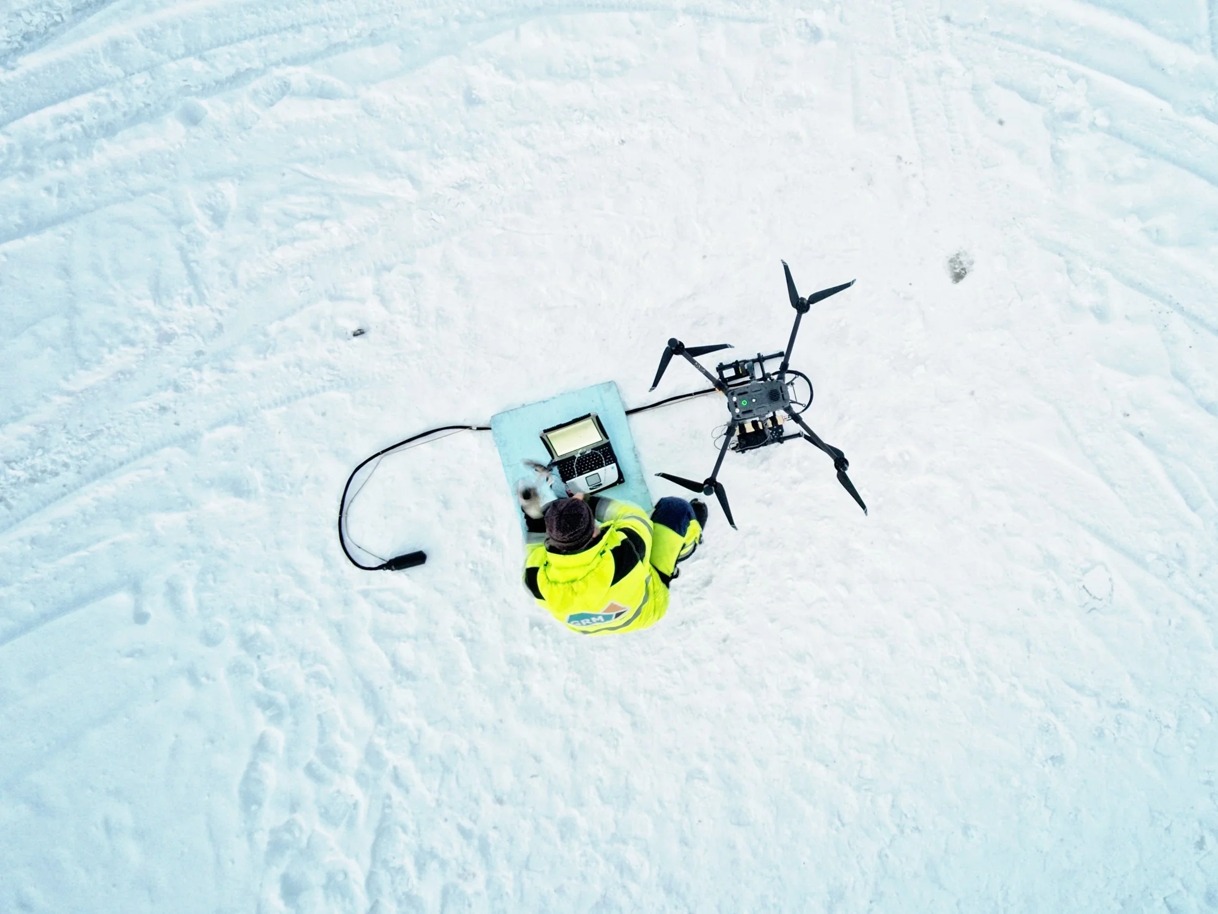
Magnetic UAV surveys
We are currently able to provide measurement data from three different magnetometers
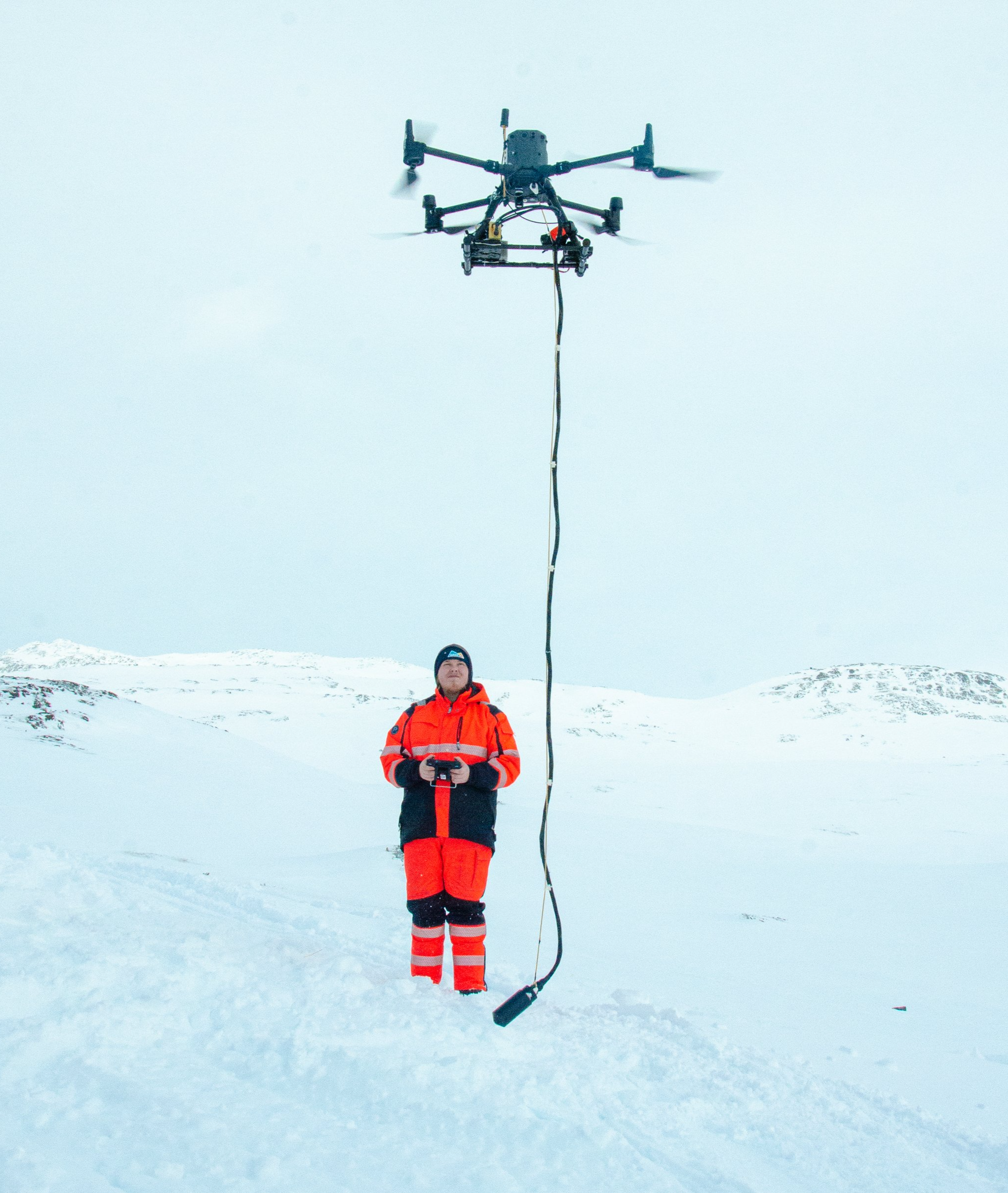
Our experienced pilots use DJI Enterprise's M300 RTK multicopters together with a selected magnetic instrument to fly the flight. We always use a GEM 19W overhauser magnetometer as the ground station for UAV measurements.
GEM GSMP-35UC
MagArrow
QuSpin
We always use a GEM 19W overhauser magnetometer as the ground station for UAV measurements.
See also our other services for mineral exploration

